

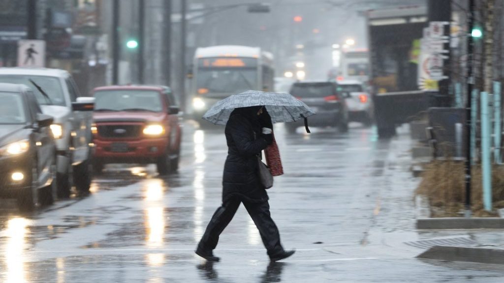
HALIFAX – Parts of Atlantic Canada are preparing for a potentially heavy rain event this weekend as a slow-moving tropical system approaches the region. Environment Canada has issued rainfall warnings specifically for central and eastern Nova Scotia, as well as for the entirety of Prince Edward Island (P.E.I.).
The forecast indicates that certain areas could receive up to 120 millimeters of rain between now and Monday, with some regions experiencing intense rainfall rates of up to 10 millimeters per hour. This significant precipitation could lead to hazardous conditions, especially in low-lying areas.
In addition to the substantial rainfall, thunderstorms are also expected in both Nova Scotia and P.E.I. Environment Canada warns that these storms could result in even heavier localized rainfall, further complicating the weather situation in the region.
Furthermore, Environment Canada has issued special weather statements for southeastern New Brunswick and Newfoundland’s Avalon Peninsula, indicating that these areas may receive between 20 to 70 millimeters of rain. Residents in these regions should remain vigilant as conditions can rapidly change.
The agency has cautioned that water may accumulate on roadways throughout the affected areas, leading to risky driving conditions. There is also a significant risk of localized flooding, particularly in places prone to water pooling or drainage issues.
As the tropical system continues its slow movement into Atlantic Canada, residents are advised to prepare for the weather conditions and stay updated with local forecasts. Given the potential severity of the rainfall and the accompanying hazards, safety measures are encouraged to mitigate risks associated with flooding and road conditions.