
In light of recent tornadoes and severe thunderstorms affecting parts of Canada, federal meteorologists are set to unveil an improved weather warning alert system. Environment and Climate Change Canada (ECCC) plans to implement the new method on its website Tuesday morning. This advancement primarily targets tornado and severe thunderstorm warnings, excluding watches. The intention is to minimize the number of alerts sent out for severe storms that might not pose a risk to nearby residents.
Currently, ECCC issues tornado and severe thunderstorm warnings that often cover extensive areas determined by various governmental and regional boundaries, sometimes spanning several hundred kilometers. Jonathan Bau, a senior meteorologist at ECCC, explained that this broad approach results in alerts reaching more individuals than necessary, given the localized nature of the threats.
With the upcoming system, the ECCC will utilize freeform polygons to outline the areas of concern. The narrow end of the polygon will identify the immediate risk zone, while the broader sections will illustrate the projected path of either a tornado or a severe thunderstorm. This structure allows for an increase in the polygon’s width, reflecting the uncertainty regarding the storm’s precise path, thereby covering a larger population area as it develops.
Bau emphasized that this change aims to combat the issue of over-alerting. The new alerts will feature detailed information regarding the storm's location, movement direction and speed, impacted areas based on estimated arrival times, and associated weather hazards such as wind and hail. Furthermore, ECCC’s alert map will support multiple layers for warnings and watches, enabling overlapping displays based on meteorological assessments.
Despite these advancements, there are limitations; the polygons won't be visible on mobile applications like WeatherCAN. However, when warnings are specifically issued, they will be transmitted to the National Public Alerting System (Alert Ready), allowing cellphones within the polygon areas to receive focused emergency text notifications, prioritizing locations most at risk.
The CityNews weather team will have access to this updated alert system. Nonetheless, ECCC officials have noted that there will be only “marginal” enhancements to television and radio interruptions during severe weather emergencies. This upgraded method represents the latest in a series of improvements within Canada’s forecasting capabilities, including the recent introduction of a new colour-coded weather alert system and the completion of a new “state-of-the-art” weather radar network.
Experts Praise the Enhanced Weather Alert System
Experts in meteorology, including Dave Sills, director of the Northern Tornadoes Project at Western University, view the updates as timely, particularly given the peak tornado season. Recent data indicates a noticeable increase in tornado occurrences in southern Alberta and Saskatchewan, while Ontario is currently experiencing below-average numbers. Sills described the ECCC announcement as “a good news story” eagerly anticipated by many.
He highlighted that cell phone alerts for tornadoes and severe thunderstorms will be sent only to those who are likely to be affected. This focused approach should significantly reduce false alarms, an issue that has concerned residents. Sills expressed that many are worried about either missing alerts entirely or receiving them after the severe weather has already passed.
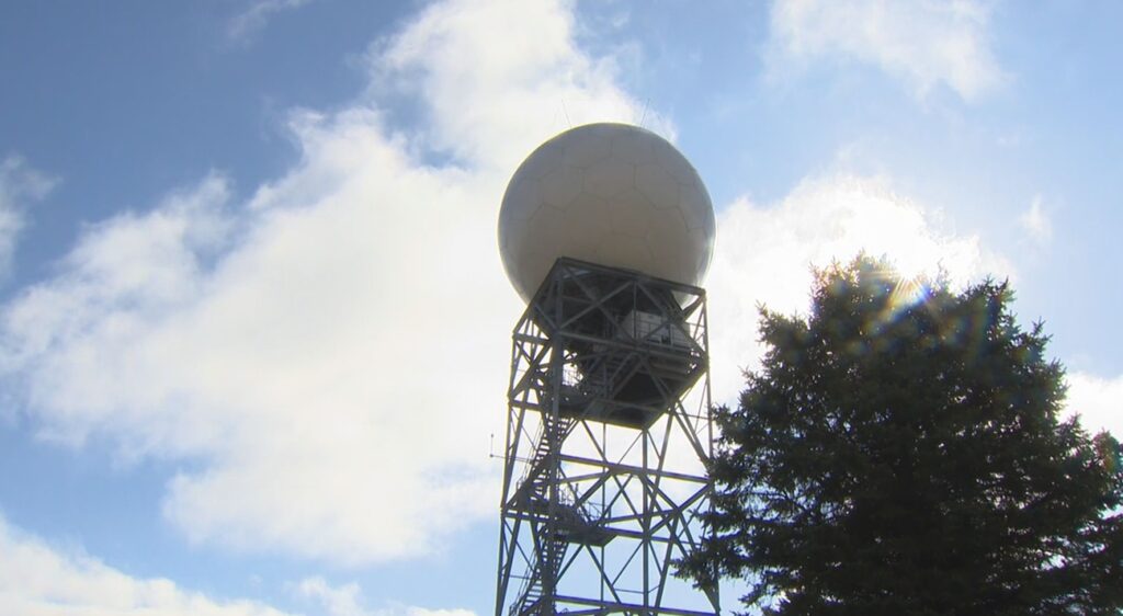
Alongside these alert system upgrades, enhancements to weather radar infrastructure were completed in 2024, enabling scans of the sky every six minutes, a reduction from the previous ten-minute interval. Sills noted that this improvement marks a significant advancement, especially considering that radar data processing is intricate and can take years to refine. The current target lead time for alerts is only ten minutes, underscoring the importance of timely warnings for effective public response.
Despite the promise of improvements, challenges remain with the quality of radar data from the new equipment. Sills acknowledged that any new technology often faces initial hurdles and emphasized that ECCC is diligently working on these issues with academic support. CityNews chief meteorologist Natasha Ramsahai conveyed that this enhanced alert system has been long overdue, noting that similar tools have been accessible to American meteorologists for nearly two decades. Ramsahai stated, “This is going to be a vast improvement,” highlighting its precision and flexibility to adjust to the dynamic nature of storm tracking.
According to Ramsahai, it’s estimated that the number of alerts for tornado and severe thunderstorm warnings could decrease by up to 70% due to these improvements, ultimately benefiting public safety and awareness.