
Canada is currently experiencing an El Niño climate pattern, which is anticipated to bring above-normal temperatures. This iteration of El Niño has been termed a ‘super’ El Niño, as it is strengthening in the Pacific Ocean and is expected to have significant impacts on the country in the upcoming months.
According to CityNews chief meteorologist Natasha Ramsahai, the current El Niño pattern could potentially be the strongest recorded, as indicated by the latest forecast from the National Oceanic and Atmospheric Administration (NOAA). Ramsahai mentioned, “Since the spring, we’ve had such a rapid transition that the forecast models can’t even keep up.”
The most pronounced effects are projected to be felt across western Canada and the Prairies extending into northwestern Ontario. Ramsahai highlighted that warm and dry conditions will likely persist throughout the winter and into the spring and summer of 2027, suggesting there may be little to no snow packs in many regions. This scenario raises concerns over a reduction in snow melt, decreased insulation, and an increased risk of wildfires and drought.
Ramsahai stated, “I think this is going to be the biggest impact that we’re going to be talking about nationally when it comes to El Niño and its strength this winter.”
What is El Niño?
El Niño is part of a cycle that typically alternates every two to seven years with La Niña (characterized by cooler-than-normal temperatures) and neutral conditions. Ramsahai explained the mechanism, detailing how strong trade winds push the warmest surface waters in the Pacific Ocean westward, allowing cooler waters to upwell near South America. When these winds weaken, the warm water begins to accumulate back towards the middle and eastern parts of the Pacific.
According to Ramsahai, the intensity of an El Niño event is determined by the temperature differential from average (how far above or below normal) of the warm water. This phenomenon can influence global temperature and precipitation patterns, compounding the effects of ongoing climate change.
What’s fueling El Niño and what other effects could be felt in parts of Canada?
In terms of regional impacts, Ramsahai noted that Quebec and most of the Maritimes could experience cooler conditions this winter. A silver lining attributed to this early El Niño is that there have been no Atlantic hurricanes thus far, which has spared Atlantic Canada this season.
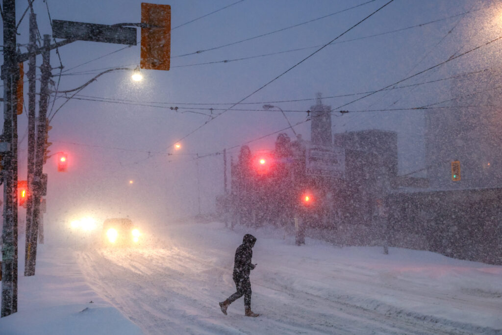
In southern Ontario, the implications of El Niño may include an increased chance of freezing rain and flooding, a shortened winter characterized by a compressed ski season, and an extended shipping season due to reduced ice buildup on the Great Lakes. Additionally, residents may face more potholes due to increased freeze-thaw cycles, and there may be potential negative consequences for maple syrup and ice wine production if temperatures do not drop sufficiently. Ramsahai cautioned that these risks reflect volatile conditions, and unexpected changes could occur.
The NOAA forecast predicts a greater than 90-percent probability that this historic El Niño event will peak during the winter months but may continue into March through May of 2027. Ramsahai explained that a ‘super’ designation is assigned when the sea surface temperature reaches 2°C or more above average in the defined region of the Pacific Ocean. As of August, measurements indicated a temperature increase of 1.89 to 2°C above average. The current record stands at 2.4°C above average set in the 1982-1983 El Niño, but some models speculate that temperatures could reach 3°C or 4°C this coming winter.
Furthermore, meteorologists indicated that El Niño appears to be protecting the Atlantic Ocean from hurricanes as of mid-September. In 2002 and 2013, the first major hurricanes of those seasons formed on September 11, marking the latest hurricane starts since tracking began in 1966. As of September 16 of this year, no major hurricanes had emerged.