

MIAMI (AP) - Hurricane Erin has intensified significantly, becoming a Category 4 storm with maximum sustained winds of 130 mph (215 kph) late Sunday. As it moves through the Caribbean, its outer bands have begun to impact the Virgin Islands and Puerto Rico, according to the U.S. National Hurricane Center in Miami. The hurricane is expected to bring tropical storm conditions to the Turks and Caicos Islands and the southeastern Bahamas overnight into Monday.
Forecasts indicate that Erin may experience additional strengthening on Monday, followed by a gradual decrease in intensity. However, it is anticipated that Erin will remain a large, major hurricane through midweek. Hurricane-force winds currently extend up to 60 miles (95 kilometers) from the center, while tropical-storm-force winds reach as far as 230 miles (370 km) outward. The expanding area of strong winds is likely to affect coastal regions, even in the absence of a direct landfall.
In anticipation of the storm's impact, Dare County, North Carolina, has declared a state of emergency and initiated an evacuation of Hatteras Island on the Outer Banks starting Monday. This low-lying barrier island faces the risk of significant damage, particularly to N.C. Highway 12, due to potentially severe surf and high winds, as warned by the National Weather Service.
As of late Sunday, Hurricane Erin was situated approximately 130 miles (205 kilometers) east-northeast of Grand Turk Island and about 965 miles (1,555 kilometers) south-southeast of Cape Hatteras, North Carolina, moving northwest at a speed of 12 mph (19 kph). Previously, Erin reached an alarming Category 5 status with wind speeds of 160 mph (260 kph) before weakening slightly. Despite this fluctuation, it remains a formidable storm.
"You’re dealing with a major hurricane. The intensity is fluctuating. It's a dangerous hurricane in any event," stated Richard Pasch of the National Hurricane Center. The impact of Erin's outer bands has already been felt in Puerto Rico and the Virgin Islands, where heavy rains and tropical-storm winds knocked out power to approximately 147,000 customers, according to Luma Energy. Furthermore, over 20 flights were canceled due to adverse weather conditions. Fortunately, the Coast Guard has reopened all ports in Puerto Rico and the U.S. Virgin Islands as weather conditions improved.
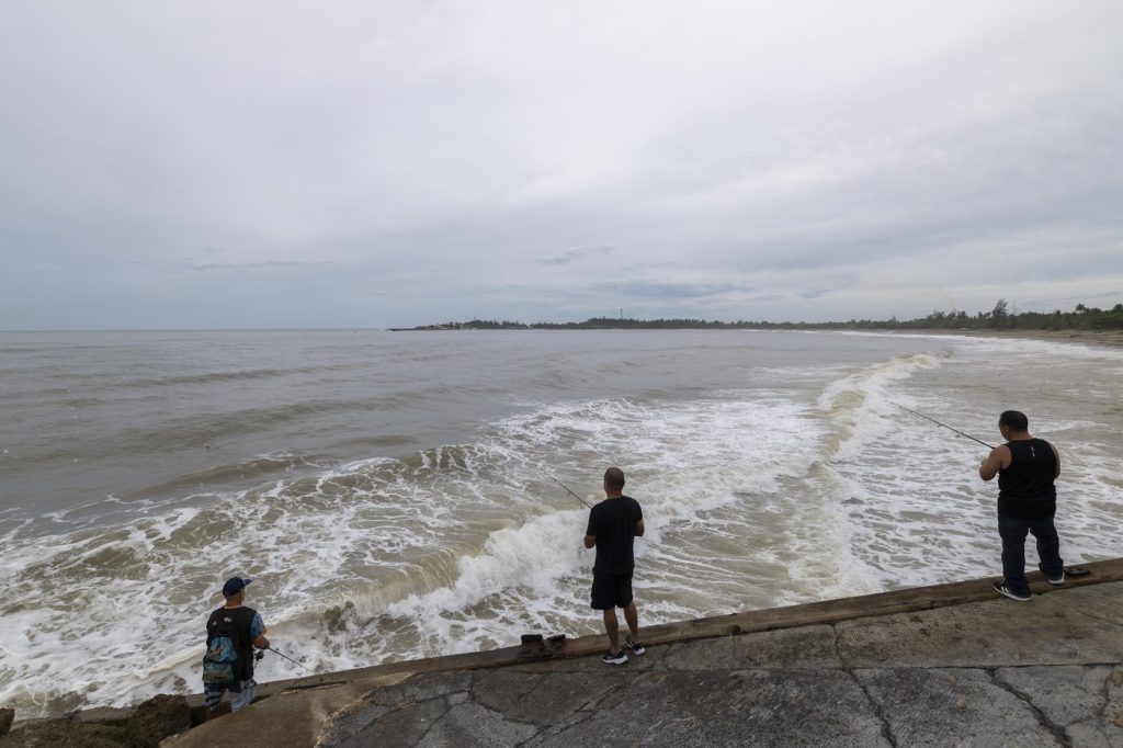
In the coming days, rough ocean conditions are anticipated for parts of the Virgin Islands, Puerto Rico, Hispaniola, and the Turks and Caicos. Life-threatening surf and rip currents are expected to persist into midweek for the Bahamas, Bermuda, the U.S. East Coast, and Canada’s Atlantic coast as Hurricane Erin turns north and then northeast.
Scientific research has linked the rapid intensification of hurricanes in the Atlantic to climate change, with global warming causing the atmosphere to retain more water vapor and resulting in higher ocean temperatures. Warmer waters provide the necessary fuel for hurricanes to unleash increased rainfall and strengthen more rapidly.


