

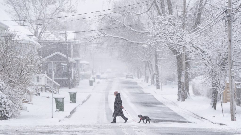
HALIFAX – The Atlantic region is bracing for a tumultuous start to the week, as an Alberta clipper system moves eastward, bringing cold temperatures and strong winds. Environment Canada has responded by issuing a special weather statement that encompasses all of Nova Scotia, as well as the eastern portions of Prince Edward Island and Newfoundland.
Beginning on Monday morning, the weather service forecasts snow accumulation in most of Nova Scotia, ranging from five to 15 centimeters. Cape Breton may experience higher totals, adding to the weather challenges, compounded by wind gusts that could reach up to an impressive 70 kilometers per hour. The anticipated conditions are expected to disrupt the morning commute, particularly in central Nova Scotia and across P.E.I., making travel difficult for residents.
As the day progresses, strong northwesterly winds are anticipated to develop in the afternoon, especially over Cape Breton and along the Northumberland Strait. These winds will significantly increase the likelihood of snow squalls and create scenarios of blowing snow, further impairing visibility and road conditions in these areas.
In eastern Newfoundland, residents can expect even more snowfall, with totals projected to be between 10 and 20 centimeters. This snowfall is set to begin on Monday evening and will likely continue through to Tuesday morning. Additionally, wind speeds in this region could escalate up to 80 kilometers per hour, posing additional hazards during this winter weather event.
The weather advisories serve as an important reminder for residents of the Atlantic region to prepare for wintery conditions that may impact daily routines and travel plans. The combination of snow accumulation and strong winds could create challenging situations for those commuting or moving about the region.


