

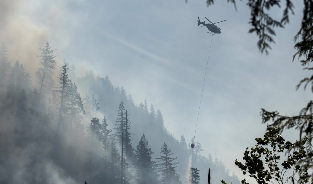
OTTAWA – According to government data, the area affected by wildfires in Canada this season ranks as the second-largest on record. During a technical briefing held in Ottawa by officials from Public Safety Canada, updates were provided regarding the ongoing wildfires across the country.
As of now, the most significant fire risk this July is anticipated in southern British Columbia. Furthermore, the Northwest Territories and Yukon are also expected to experience an increased likelihood of wildfires. The current wildfire season is reported to be the second worst since records began, with wildfires ravaging approximately 3.7 million hectares of land. This figure is alarmingly six times the size of Prince Edward Island, highlighting the severe impact of these wildfires.
The average area consumed by wildfires over the past decade stands at about 800,000 hectares, which underscores just how extraordinary this current season is. Environment and Climate Change Canada has projected that temperatures will be above normal across the country throughout August. While the forecast indicates elevated temperatures, the highest risk of wildfires will predominantly be concentrated in central and western provinces and territories.
This briefing comes as authorities brace for a challenging fire season, especially in light of the significant area already burned and the forecast of continuing high temperatures. The situation calls for heightened vigilance in regions more susceptible to wildfires, as the conditions may exacerbate ongoing fire threats.
The alarming statistics and forecasts serve as a clear indication of the urgency for preventative measures and effective responses to the wildfire crisis. With climate factors playing a significant role in these conditions, it is imperative for governments and communities to prepare adequately for the challenges ahead.


