

Wintry weather is expected to bring significant snowfall across Southern Ontario and parts of Quebec, adding to the existing layers of snow in the region. According to Environment Canada, residents from the Chatham-area sideroads in the south to the street corners of Montreal can expect between 10 to 25 centimeters of new snow accumulation. This weather event is part of a low-pressure system impacting the area.
Additionally, snow squalls off Lake Huron may result in even heavier snowfall, potentially adding another 20 centimeters in areas such as Sarnia to Strathroy. The combination of these snowfall amounts is likely to create challenging conditions for residents and travelers alike.
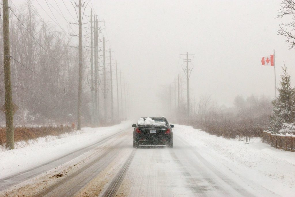
Environment Canada has issued warnings about the adverse effects of this weather system, particularly highlighting the strong winds and blowing snow that may lead to whiteout conditions. These conditions could significantly impact rush hour traffic, causing delays and potential road closures throughout the affected areas. As a result, authorities advise residents to allow for extra travel time if they must head out during this winter storm.
In addition to the snowfall, a sharp drop in temperatures is anticipated, further complicating the already difficult weather conditions. This drop in temperature, combined with the heavy snow and strong winds, poses potential hazards for anyone on the roads.
As the weather progresses, staying updated on conditions and considering safety precautions will be crucial for residents in these areas. The winter storm is expected to have far-reaching effects across a wide stretch of Southern Ontario and Quebec, calling for careful monitoring and planning for anyone affected.


