

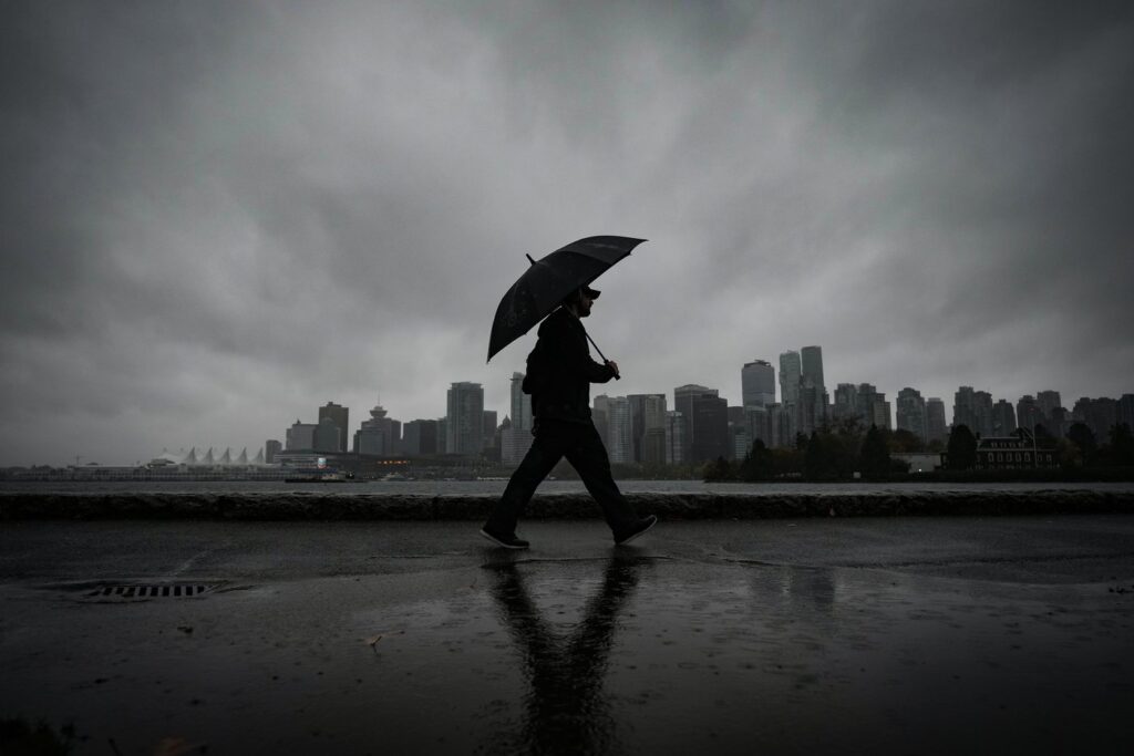
VANCOUVER – Recent weather developments in British Columbia have prompted flood watches across various regions as an atmospheric river makes landfall along the coast. The B.C. River Forecast Centre has officially issued flood watches for northern and western Vancouver Island as well as the central coast. These alerts coincide with rising temperatures that are expected to lead to significant snowmelt, further exacerbating the heavy rainfall anticipated in the coming days.
In addition to the flood watches, high-streamflow advisories have been activated for the southern B.C. coast, including areas such as Metro Vancouver, Greater Victoria, eastern Vancouver Island, the North Coast, and the upper Fraser region, which comprises Prince George. The potential for increased runoff from melting snow and heavy rain raises concerns for both urban and rural areas.
At higher altitudes, the incoming weather system is expected to produce substantial snowfall. Environment Canada has issued a winter storm warning targeted at the ski resort community of Whistler and segments of the Sea to Sky Highway. Predictions indicate that up to 20 centimeters of snow could accumulate before the weather begins to shift to rain later on Monday.
Weather forecasts suggest that the atmospheric river has the potential to deliver up to 250 millimeters of rainfall to specific areas by Wednesday. Warnings related to various weather phenomena, including rain, wind, and snowfall, encompass a wide range of regions, including Vancouver Island, Howe Sound, the North Shore of Metro Vancouver, the Fraser Canyon, and the Okanagan. The central Interior's stretch from Williams Lake to Prince George is also included in the weather alerts.
Wind gusts reaching speeds of up to 90 kilometers per hour are expected in regions like the Fraser Canyon and the Chilcotin. Additionally, travel restrictions are likely on Highway 16 toward the Alberta border and Highway 97 through northeastern B.C., due to the anticipated heavy snowfall.
The River Forecast Centre has expressed that the risk of flooding in the coastal regions of British Columbia is expected to escalate as the atmospheric river progresses across the province throughout the week. The forecast indicates that multiple waves of precipitation could impact the region from early to mid-week, raising further concerns for local residents.
The flood watch advisory specifically for the central coast highlights that rainfall totals from Sunday through Wednesday are projected to range from 100 to 200 millimeters for several coastal communities. Areas mentioned in the advisory include Prince Rupert, Kitimat, Bella Bella, Bella Coola, and Kingcome Inlet. The combination of intensified rainfall and rising freezing levels anticipated into Monday could trigger increased runoff across the region, particularly in the central Coast, where the heaviest downpours are expected.
As authorities prepare to deal with the impacts of this weather event, the community is advised to stay informed and heed local advisories regarding safety and travel conditions. The significant influx of moisture from the atmospheric river poses serious risks that could affect daily life and infrastructure throughout the affected areas.


