

Severe storms sweeping across the heart of the United States have continued to wreak havoc, threatening rain and increasing flooding risks. These storms have led to significant repercussions, including at least one fatality resulting from a lightning strike in Waukesha, Wisconsin. The police reported that during a heavy rainfall event accompanied by significant thunder and lightning, a man was found on the ground in a parking lot Wednesday evening. Preliminary investigations suggest he was struck by lightning while walking in the area.
A weather pattern characterized by moist air combined with a strong jet stream has been affecting regions from central Texas up through the Midwest and into the Great Lakes. From Monday through Wednesday, the National Weather Service recorded over 1,100 reports of large hail, winds exceeding 60 mph (96 kph), and tornadoes as part of the ongoing storm system. Bill Bunting, a meteorologist with the Storm Prediction Center, indicated that teams were deployed on Thursday to assess the damage and determine the precise number of tornadoes reported.
The storms have been active across several states throughout the week and are expected to persist into the early weekend. Meteorologist Mark Gehring from the Milwaukee weather service remarked on the exceptional number of lightning strikes associated with these storms, noting, “We’ve had the temperature and humidity of summer lasting an entire week in mid-April.” The region has experienced daily heavy rain, along with frequent tornadoes and large hail, which has also been confirmed with five tornadoes identified in southern and central Wisconsin.
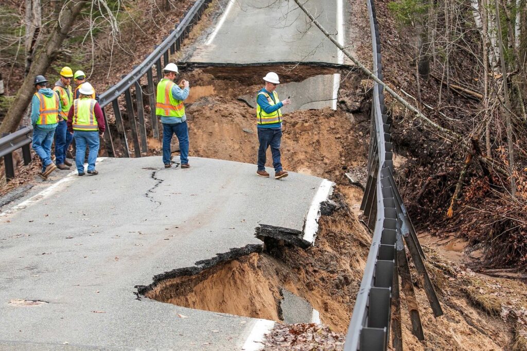
In advance of anticipated storms on Friday evening, meteorologists are conducting additional surveys to assess the situation further. Alongside lightning, hail, and tornadoes, the storms have prompted extensive rainfall, with numerous flood warnings and watches being issued across multiple states.
In Michigan, significant measures have been undertaken to manage flooding pressures. Crews were observed pumping water from a dam in Cheboygan, with local officials advising residents and businesses to prepare evacuation bags due to imminent flooding threats. In northern Michigan, the town of Bellaire, with a population of 1,000, reported that its wastewater treatment system was overwhelmed, resulting in the release of partially treated waste into local swamps, and residents have been urged to minimize their water usage.
Carl Johnson, a resident near the rapidly rising Muskegon River in western Michigan, shared his concern through social media, stating that the river has overflowed its banks, and the situation is dire. He mentioned that the river is not expected to crest until Saturday, creating extensive hazards for those living nearby. In Newaygo County, residents living in the flood plain below the Croton Dam were ordered to evacuate, although specific details on how many were affected remain unclear.
In Portage, Wisconsin, the Wisconsin River is at a major flood stage, measuring at 19.9 feet (6 meters) and predicted to reach or exceed a record level of 20.7 feet (6.3 meters) by Friday morning. Local meteorologist Gehring warned of significant low-land flooding that has led to many roads becoming impassable. The situation is critical, especially as important levees attempt to hold back the floodwaters. Wisconsin Governor Tony Evers has declared a state of emergency in response to these ongoing threats.
The stormy weather led to trapped vehicles in high floodwaters on a Milwaukee highway, prompting local officials to discourage driving in southeast Wisconsin. However, the forecast may offer a glimmer of relief, with meteorologists predicting one final severe rain event on Friday before a more stable weather pattern can establish itself for the region. Bill Bunting noted that the storm system is expected to continue moving north and east, taking three to four days to clear off the U.S. east coast, with Friday anticipated to be the most concerning day for severe thunderstorms.


