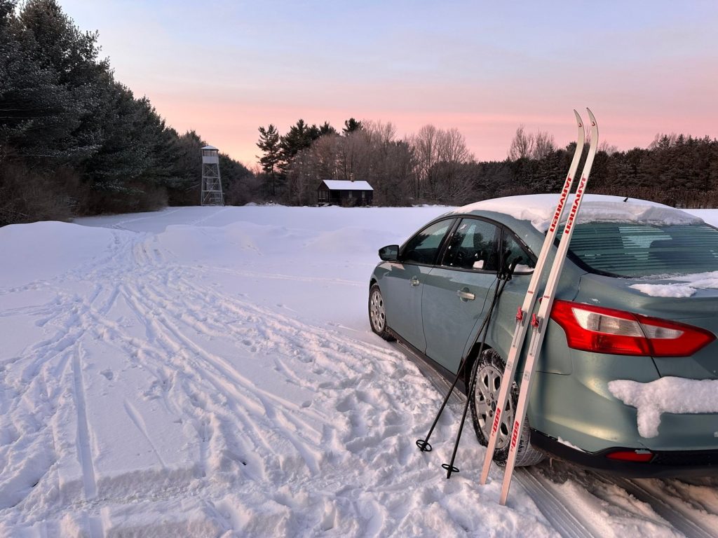
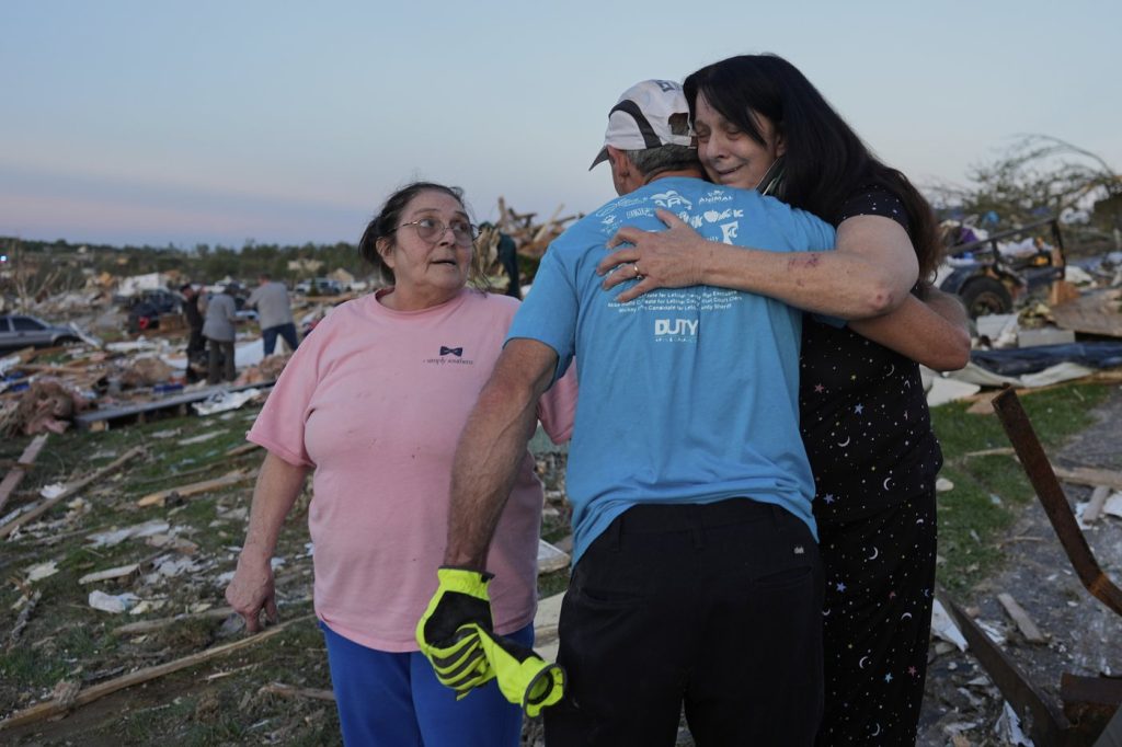
A powerful winter storm is making its way east from the Plains, characterized by an intense cyclone, causing a widespread array of weather disruptions across the United States. On Sunday, the Upper Midwest faced heavy snow and increasing winds, with the National Weather Service warning of whiteout and possible blizzard conditions, rendering travel nearly impossible in specific locations. Some areas, particularly across the upper Great Lakes, are expected to see snowfall totals exceeding a foot, with projections of up to 2 feet along the south shore of Lake Superior.
Meanwhile, the South is bracing for severe thunderstorms as a sharp cold front encroaches, commonly known as a "Blue Norther." This front is expected to trigger a significant temperature drop alongside strong north winds, swiftly ending the unseasonably warm weather that has enveloped the region. In Atlanta, the forecasted high is around 72 degrees Fahrenheit (22 degrees Celsius) on Sunday, following a recent record-breaking warm spell that saw temperatures reach 78 degrees Fahrenheit (about 26 degrees Celsius) on Christmas Eve, according to the National Weather Service. Other regions in the South and Midwest also reported record high temperatures after Christmas.
Forecasters, however, indicate that this record heat is coming to a rapid close. A cold front is predicted to bring rain to much of the South late Sunday night into Monday, leading to a stark drop in temperatures by Tuesday. In Atlanta, the low temperature is anticipated to plummet to 25 degrees Fahrenheit (minus 3.9 degrees Celsius) early Tuesday morning, with cooler conditions expected to last through New Year’s Day.
Over the next 48 hours, the cyclone is set to unleash heavy snowfall and blizzard conditions in the Midwest and Great Lakes regions, while New England prepares for freezing rain. Thunderstorms are anticipated to sweep through the eastern United States and the South, with strong winds expected across a wide area. The storm is likely to strengthen as it advances eastward, fueled by a sharp clash between cold air descending from Canada and persistently warm air lingering across the southern U.S., as noted by the National Weather Service.
This severe weather system follows a weekend of significant travel disruptions, including numerous flight delays and cancellations across the Northeast and Great Lakes due to snow. Many holiday travelers found themselves navigating congested roads and crowded airports during this busy travel season between Christmas and New Year’s.
In contrast, California has been experiencing dry conditions over the weekend after facing powerful storms that resulted in heavy rain, flash flooding, and mudslides. Tragically, at least four fatalities have been reported, including a man discovered dead in a partially submerged vehicle near Lancaster, according to the Los Angeles County Sheriff’s Department. The storms have left a lasting impact on the state, highlighting the severe weather faced this holiday season.


