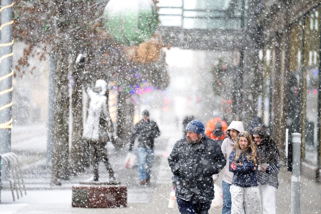
A potent winter storm is threatening blizzard-like conditions, treacherous travel, and power outages across parts of the Upper Midwest. Meanwhile, other regions of the United States are bracing for plunging temperatures, strong winds, and a mix of snow, ice, and rain as the storm develops. The snow and strengthening winds began to spread on Sunday across the northern Plains, where the National Weather Service has issued warnings for potential whiteout conditions and blizzards that could render travel impossible in certain areas.
Snowfall totals are predicted to exceed a foot (30 centimeters) in parts of the upper Great Lakes, with some areas along the south shore of Lake Superior seeing accumulation as much as two feet. Bob Oravec, a lead forecaster at the National Weather Service in College Park, Maryland, noted that different parts of the storm system will provide varying effects across the country. He explained that while some areas will experience heavy snowfall, others will face higher winds and much colder temperatures as the cold front passes.
The weather service has issued warnings for dangerous wind chills that could plummet as low as minus 30 degrees Fahrenheit (minus 34.4 degrees Celsius) in North Dakota and parts of Minnesota from Sunday night into Monday. In the southern regions, meteorologists are forecasting severe thunderstorms that will signal the arrival of a sharp cold front, which will bring about a sudden drop in temperatures and powerful north winds that put an end to days of record warmth experienced across that region.
For instance, Atlanta reported a high temperature of around 72 degrees Fahrenheit (22 degrees Celsius) on Sunday, continuing a warming trend that included a record-breaking 78 degrees Fahrenheit (approximately 26 degrees Celsius) on Christmas Eve. Numerous cities across the South and Midwest recorded new high temperatures in the days following Christmas. However, forecasters predict that the cold front will bring heavy rain to much of the South late Sunday night into Monday, with temperatures expected to drop dramatically. By early Tuesday morning, the low temperature in Atlanta could fall to around 25 degrees Fahrenheit (minus 3.9 degrees Celsius), with chilly conditions expected to persist through New Year’s Day.
In Dallas, the Sunday temperatures in the lower 80s (upper 20s Celsius) are anticipated to plummet to the mid-40s (single digits Celsius). A similar trend is observed in Little Rock, where a high temperature of about 70 degrees Fahrenheit (21 degrees Celsius) on Sunday could drop to highs in the mid-30s on Monday. The National Weather Service emphasizes that the country will likely revert to a more typical winter pattern as the storm progresses.
The storm is expected to intensify as it moves eastward, drawing energy from the sharp clash between frigid air descending from Canada and the unusually warm air that has lingered across the southern United States. This complex interaction between air masses sets the stage for severe weather across many regions.


