

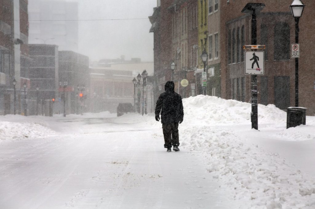
HALIFAX — A significant weather warning has been issued for much of Newfoundland's northern and eastern regions as a low-pressure system approaches, bringing heavy snow and strong winds. This weather alert is particularly focused on the St. John’s area and the Avalon Peninsula, with Environment Canada emphasizing the need for caution.
The anticipated snowfall totals are considerable, ranging from 15 to 30 centimetres overnight. This accumulation is expected to be accompanied by northerly winds reaching speeds of up to 70 kilometres per hour, creating potentially hazardous conditions for residents and travelers alike.
The eastern Avalon Peninsula is slated to receive the highest amounts of snowfall, and weather agencies are urging the public to stay informed and avoid any unnecessary travel during this time. The situation is expected to remain challenging as the low-pressure system could remain in the area until Monday afternoon, intensifying the effects of the storm.
Officials at Environment Canada have labeled the conditions as “hazardous,” indicating that the combination of snow and wind could lead to poor visibility and dangerous road conditions. Residents are therefore advised to prepare for the adverse weather and to ensure that they have essential supplies on hand in case travel becomes difficult.
This weather warning serves as a reminder of Newfoundland's dynamic winter conditions and the importance of staying updated on local forecasts. Residents in affected areas are encouraged to monitor the situation closely and adhere to any guidance provided by local authorities regarding travel and safety.
The report highlights the ongoing impact of winter storms in the region, showcasing the need for preparedness and caution as communities brace for the upcoming weather challenges.


